


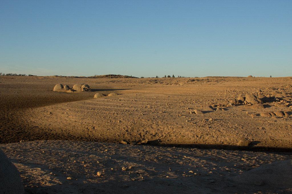
So far, 2020 has shown very little rain for the state of California. According to a map released by the United States Drought Monitor on February 13th, most of California is labeled as abnormally dry and some parts are already experiencing moderate drought.
The areas that fall under the abnormally dry category include the Bay Area, Sacramento, the Sierra Nevada, and the Central Valley. These areas account for 37% of the state being labeled as abnormally dry. The Drought Monitor estimates a population of over 1.3 million in drought areas in California right now.
Below-average precipitation increases the risk of wildfires in regional vegetation areas. Once summer starts, since the soil will be lacking in moisture, the forests will dry out, and seasonal grass will grow faster providing more terrain to potentially be burned.
February is typically the month where we should see the most rainfall, but meteorologist David Sweet, from the National Weather Service, in Oxnard, said, “Overall for January and February, we’ve been far below normal in terms of rainfall.”
Major cities all over California have reported less rainfall this year than what is average. Climatologists also predict that most of the northern part of California will probably see no rain for the rest of February.
The Sierra Nevada Snowpack, which is an important source of the state’s water supply, measured only 59% of its average for this time of year. The amount of snowfall seen between December and April is essential to the state’s annual water outlook, and the snowpack is normally at its highest during this time. The next two weeks are expected to be very warm and dry, and the snowpack’s average could drop to 50% by the end of February.
30% of the state’s annual freshwater supply comes from the snowpack. but the Folsom and Shasta Lake reservoirs are reported to be near or above average.. This is thanks to the rainfall California saw last winter which was steady.
Not long ago, California experienced its worst drought ever between 2013 and 2016. Climate scientist at the University of California, Los Angeles, Daniel Swain, said that when it comes to California seeing another drought, “My answer, right now, is that we’re not quite there yet–but we’re getting closer.” According to Swain, it is very likely that this year will be drier than average and even with a surprise rainfall in March, it would not be enough to make up for the deficit by the end of the rainy season.
Aside from having a shortage of water, droughts also cause crop damage, resulting in loss of agricultural jobs, reduced streamflow, and lack of soil moisture.
Typically it would take two or more years of below-average rainfall to be identified as a drought, but if California continues to have erratic rainy seasons, current weather patterns will be recognized as the start of another drought.
